The Blackwater
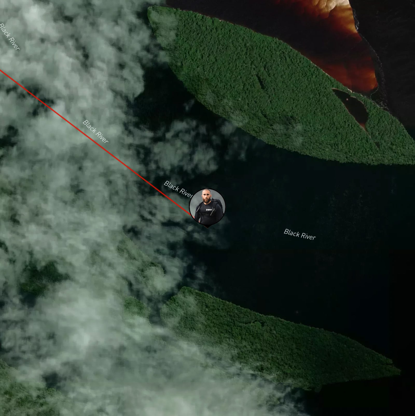
- One of the Largest Blackwater Rivers: The Rio Negro, located in South America, is the largest blackwater river in the world. "Blackwater" describes the dark colour of the water, which results from decaying plant matter releasing tannins into the water.
- Significant Tributary of the Amazon: The Rio Negro is the largest left tributary of the Amazon River, the second-longest river in the world. At their confluence near Manaus, Brazil, the stark colour contrast between the Amazon's lighter waters and the Rio Negro's dark waters creates an impressive sight.
- Vast Archipelago System: The Rio Negro is also home to the Anavilhanas Archipelago, the largest river archipelago in the world. This sprawling archipelago stretches across more than 350 kilometres, featuring approximately 400 islands and numerous lakes, channels, and sandbars. This area is rich in biodiversity, hosting a multitude of animal and plant species.
- Remarkable Biodiversity: The regions around the Rio Negro, including the Amazon Rainforest, are home to a stunningly diverse array of species. Many unique and endangered species can be found here, such as the Amazon river dolphin, the black caiman, and countless species of birds and fish.
- Climate Extremes: The Rio Negro can experience extreme shifts in water levels due to the region's heavy rainfall during the wet season and droughts during the dry season. In some years, the river's water levels can fluctuate by as much as 14 meters (about 46 feet), significantly impacting the river's course and surrounding ecosystems.
About Expedition
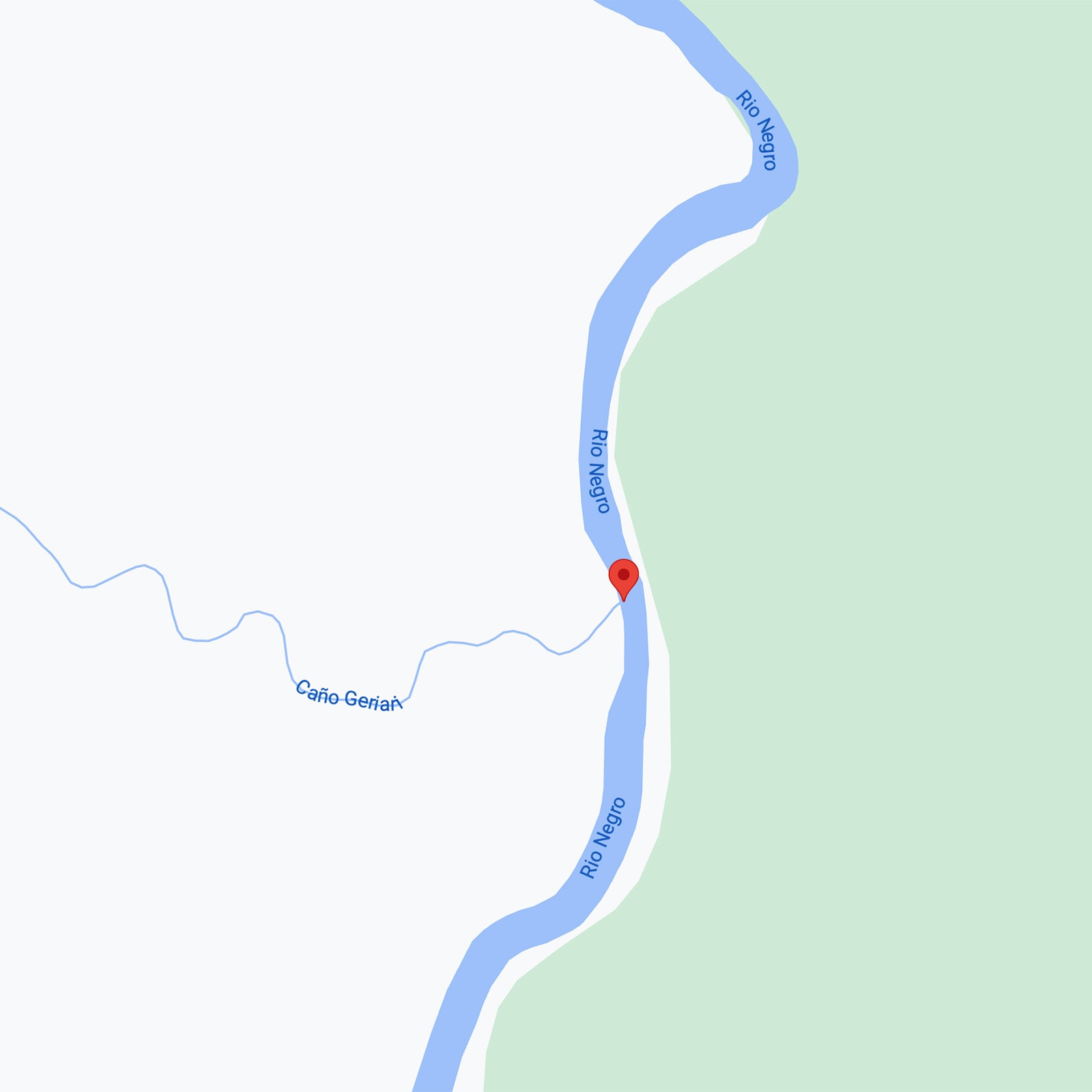
The Rio Negro then is a whole new challenge, it is over 1400 miles long with its widest point in brazil at around 18 miles wide that is based around the Anavilhanas National Park and has never been wholly travelled and documented which is what I intend to do. The beginning of the trip will be at the coordinates 2°11'57.3"N 69°31'54.4"W and end in the city of Manaus. The highlight, I think, of the expedition would be travelling through the national park known as Reserve Nacional Natural Puinawai, currently closed and having always been closed, there is next to no information about how to get there which is in itself a huge draw for me. There will be a number of spread out communities: Loro, Marinuma, Pareza and Guarinuma. These are the ones that show up on Google Maps. So the unknown communities will be a surprise to me on this leg of the expedition.
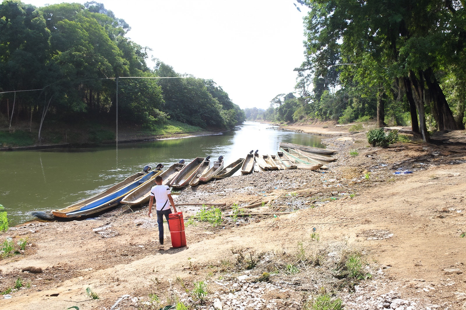
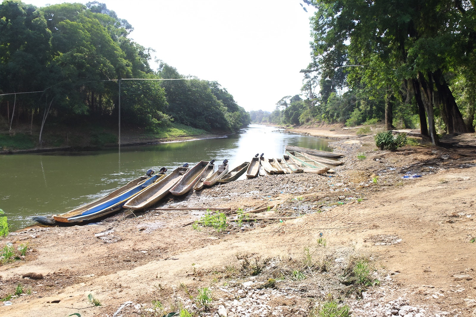
Canoes
The Plan
The Means
Expedition Video
The Conclusion
The Success of the Rio Negro Expedition
I am thrilled to announce the successful conclusion of my latest expedition! The Rio Negro presented numerous challenges, but with exceptional resilience and patience, my dedicated and committed resilience overcame them all.
I navigated through Indigenous territories, learning about the community and cultures, and faced major setbacks including abandonment, robbery, and illness such as Leishmaniasis. Despite these challenges, I managed and focused on my goals and achieved success against all odds, setting a new precedent for future explorations.
Covering over 1500 miles from Colombia’s most remote region to Brazil’s Amazon capital, the journey concluded with a celebration in a bar reminiscent of a Netflix series, complete with cowboys, gold miners, and more.
Special thanks to those who played a huge role: NGS, Space to Talk, Water to Go, and Hennessy Hammock.
For more, join me at this event.